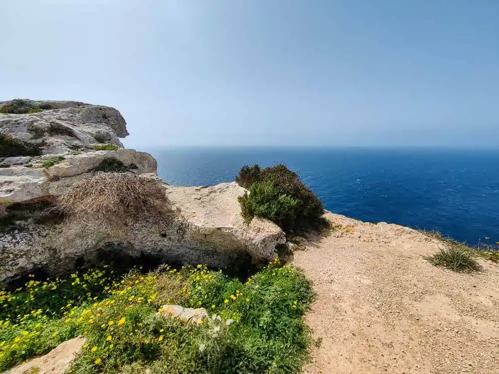
If you want to be away from the crowds in Malta, just by yourself, head to the coastal village of Hat Dingli. No, you’re not in Dover, although it looks like it. You’ll discover the coastal cliffs everyone calls Dingli Cliffs trail outside the town. They put Malta in my unexpected tops.
Hat Dingli
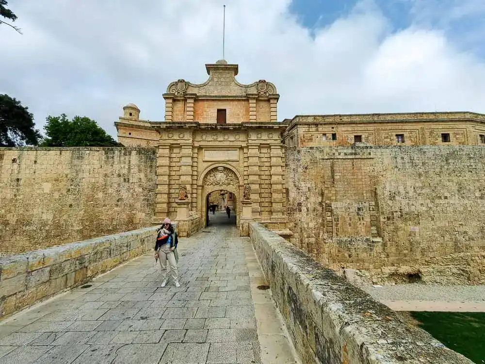
Transportation by bus to the village is accessible from any part of the island. Just take a ride to the centre of Rabat, the gateway to Mdina’s historic citadel. Today, Malta’s capital is Valletta, but medieval Mdina was the country’s original capital. From here, it’s only a short bus ride (56) to Dingli.
Bus tickets are transferable and valid for 2 hours. Just show them to the driver.
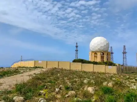
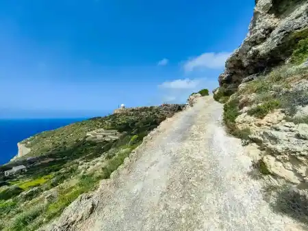
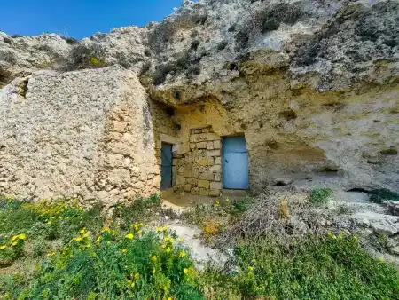
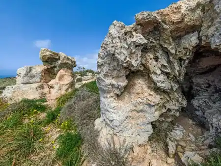
Dingli Cliffs Malta
The name is believed to come from the name of an English Knight of the Order of St John, Sir Thomas Dingley, who owned much land here-numerous artefacts from the Roman and Phoenician eras.
The cliffs extend from Bahrija to the Munqar area. However, I settled for the 8km stretch from Hat Dingli to Cape Siġġiewi with its Bronze Age archaeological site.
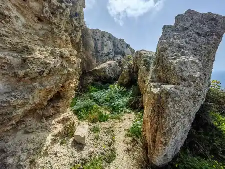
There are also several prehistoric sites around Dingli Cart Ruts/Clapham Junction with unexplained parallel tracks in the rock with several megalithic caves.
Hike Dingli
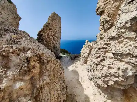
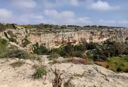
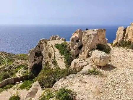
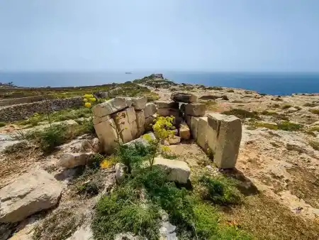
There are two ways to experience the cliffs.
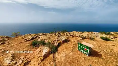
The first is an easy walk along the upper trail above the cliffs. It is lovely in the off-season. You won’t find a living soul here, and it’s not that warm. I had the urge to return here more times because of the light. During sunset, the photos here must be truly magical. The sunset against the backdrop of the blue sea and shadows offers a different scenery every minute.
The second way requires good shoes and a little courage. The cliff paths will slow your speed to about a third. 🙂
The good news for the lazier ones is that the 201 bus goes around the whole cliffs at half-hourly intervals. 🙂
For a good dinner
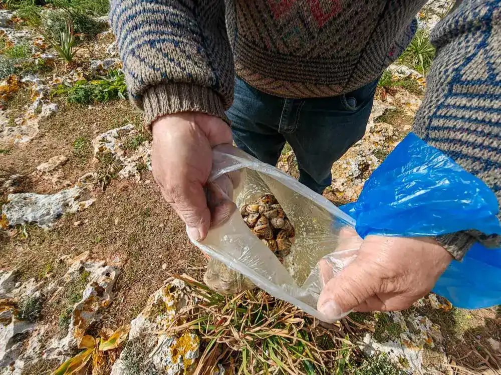
The very first guy I met on the cliffs was collecting something. I talked with him, “Snails, for dinner!” he laughed.
Dingli Cliffs trail
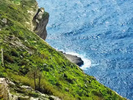
The cliffs have three terraces. The upper one, the tourist and quiet one with a trail, is about 220 m above sea level. However, it is the most boring one. You can’t see anything.
One terrace below (about 100m above sea level), you will experience a much bigger adrenaline rush. Most of the trails are marked “no entry, private”, but basically, the local Maltese have made a gardening colony there.
The third level to sea level is almost inaccessible. At least I haven’t found a way.
Authentic Malta
When it comes to coastal trails, I’m spoilt for choice. Formentor in Mallorca, the canyons of Sardinia, or the Risco de Famara in Lanzarote. I love moments alone with myself. A few hours of cliff hiking is one of my off-season Malta highlights. So different from Valletta and its three towns, pubs, discos and commerce that it hurts.
And yet, if you like to take pictures, this is to be noticed.
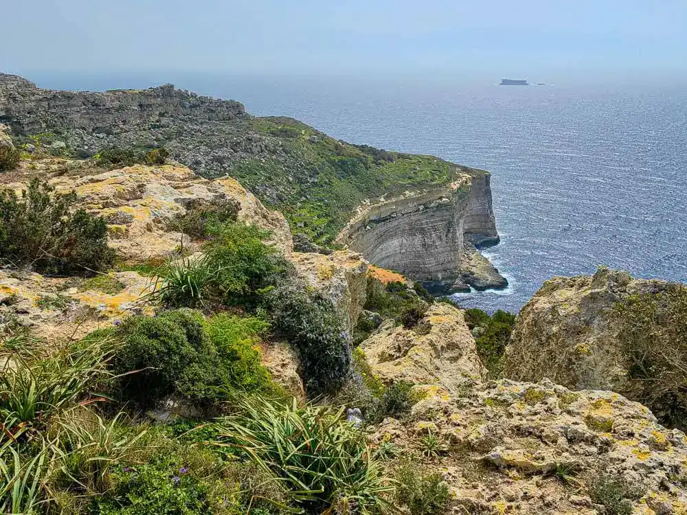
The Dingli Cliffs trail offer a majestic view not only when viewed from the boat but also from above. The panoramas with terraced fields over the open sea and the uninhabited islet of Filfla are breathtaking. Although the cliffs are not high (at the highest point at about 253 m above sea level, you will find the chapel of Mary Magdalene), they act as natural fortresses of the island, as few people would be able to climb them to the island from the west, given their imposing height.

