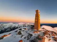
The village of Tejeda and the Rural Nublo Park is the mystery and mystique of 40 generations of Guanches, the pre-Hispanic inhabitants on the roof of Gran Canaria. Roque Nublo, Pico de las Nieves and Bentayga.
El Roque Nublo
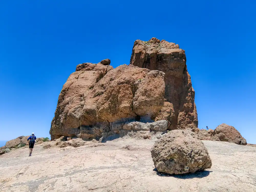
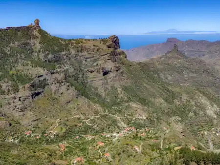
One of the most iconic symbols of the Canary Islands, and indeed of Gran Canaria, is the Roque Nublo rock above Tejeda. At 1813 m above sea level, it is one of the highest points on the island. The surroundings of the Rural Park Nublo were declared a protected natural area in 1987.
Several hikes lead to the Roque Nublo Rock itself. We chose the shortest and quickest one from Degollada de La Goleta Parking. The approaches are perfectly marked on the roads from far away.
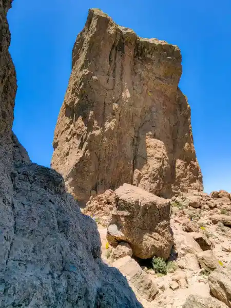
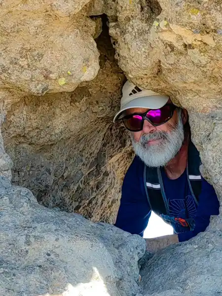
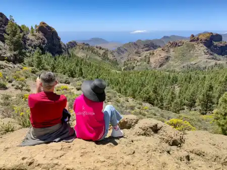
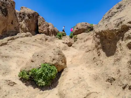
The hiking trail to the top is only 1.5 km, so we quickly added a loop over the rock… However, if you’re a fan of Instagram photos, multiply the ascent and descent time by 2x. When you grab your camera, you’ll understand why.
According to sources from the government of the Canary Islands, Roque Nublo is one of the most giant rocks in the world.
Parque Rural del Nublo has several hiking trails to enjoy one of the best natural spaces on the island. We recommend the Charco de la Paloma trail, which passes through Culata de Tejeda. However, if you have little time, you will be able to appreciate the nearest towns and places of interest from the top.
Parque Rural del Nublo
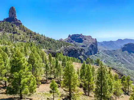
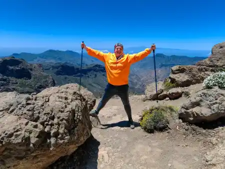
Tejeda Rural Roque Nublo Gran Canaria
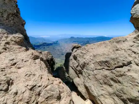
From Roque Nublo, you can see Ayacata, the Chira Dam, Pico de Las Nieves, and La Culata. If it’s a clear day and there’s no haze, you can also see the summit of El Teide (Tenerife), Spain’s highest mountain.
Just a few meters from Roque Nublo, we discovered the view of El Tejde. If you feel dizzy and a bit gnarly, you’d better stay on the rock because it’s a bit dangerous.
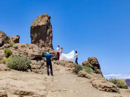
At first, I thought it was domestic folklore. However, a young couple from Budapest also has a powerful connection to Roque Nublo. Otherwise, they would have been unwilling to drive out here to have their wedding photos taken—impressive love for the mountains.
Pico de Las Nieves
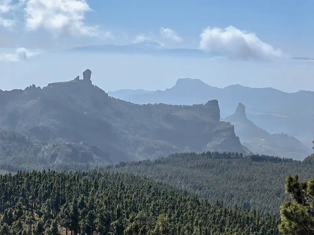
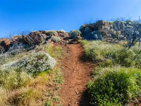
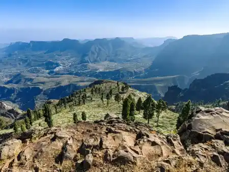
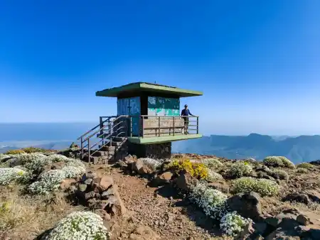
Pico de Las Nieves is one of the highest points on Gran Canaria, with an altitude of 1,949 metres. We discovered it on our way from Tejeda to Telde.
Although the photos speak of incredible nature, we must admit that we drove to the bottom of the hill by car, from which the climb to the lookout took at most 5 minutes.
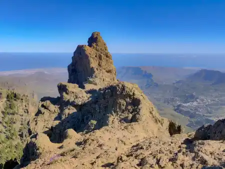
Cruz de Tejeda
Cruz de Tejeda is like the crossroads of the high mountain routes in Gran Canaria. From it, hiking circuits lead to all the tops of the area.
Roque Bentayga
one of the strongholds of the Canarian Guanches. Their resorts can also be found in Telde and Galdár.
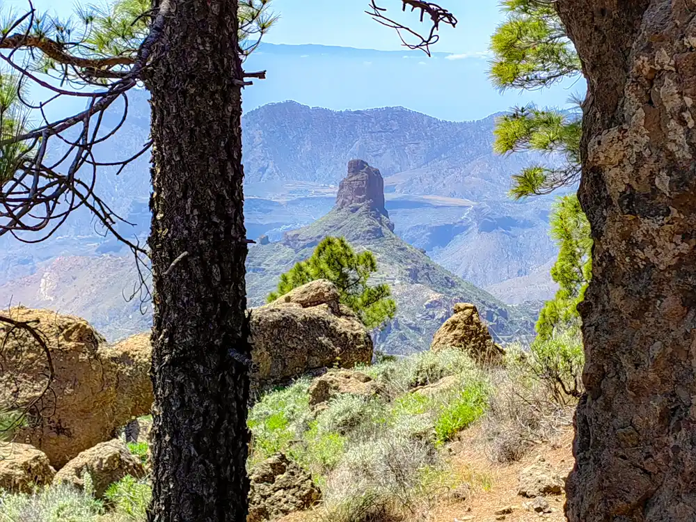
It cannot be unnoticed. It is one of the most representative rocks of the roof of Canaria. This rock was used as a fortress by the Guanchos until the arrival of Castilian troops at the end of the 15th century. It is an archaeological site with various caves, walls, inscriptions and cave paintings. The rock has an almogarene, the mystical sacrificial place of the ancient gods of the Guanches.
A short 2 km road leads to the summit directly from the parking lot near Tejeda. A place full of energy with spectacular views of the sacred mountains of Gran Canaria. The entire roof of Gran Canaria has been declared a UNESCO world heritage site. We know this from the truly called.
Tejeda trail
The trail passes through Charco de La Paloma, Cruz de Timagada and La Culata de Tejeda. You can enjoy impressive views of Roque Bentayga and the Roque Nublo Natural Monument during this route. We also recommend the circular way that starts from Cruz de Tejeda with spectacular views of Roque Bentayga.
Caldera de Los Marteles
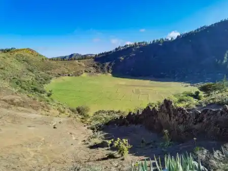
We finished our trails in Tejeda with a view of Caldera de Los Marteles. It is just a short walk from Pico de las Nieves. You can see the tectonic fault of the rock plate in the front of the photo. There is a similar one in Lanzarote at Papagayo beach.
The fields at the bottom of the crater indicate that the crater floor was once (like the Caldera Blanca in Lanzarote) farmed. There is a logic to this. If water has run off and been retained somewhere, it was in the crater. Today, there is a hiking trail around it. And instead of working the land, locals sell local honey rum at stalls. Very sweet for me.
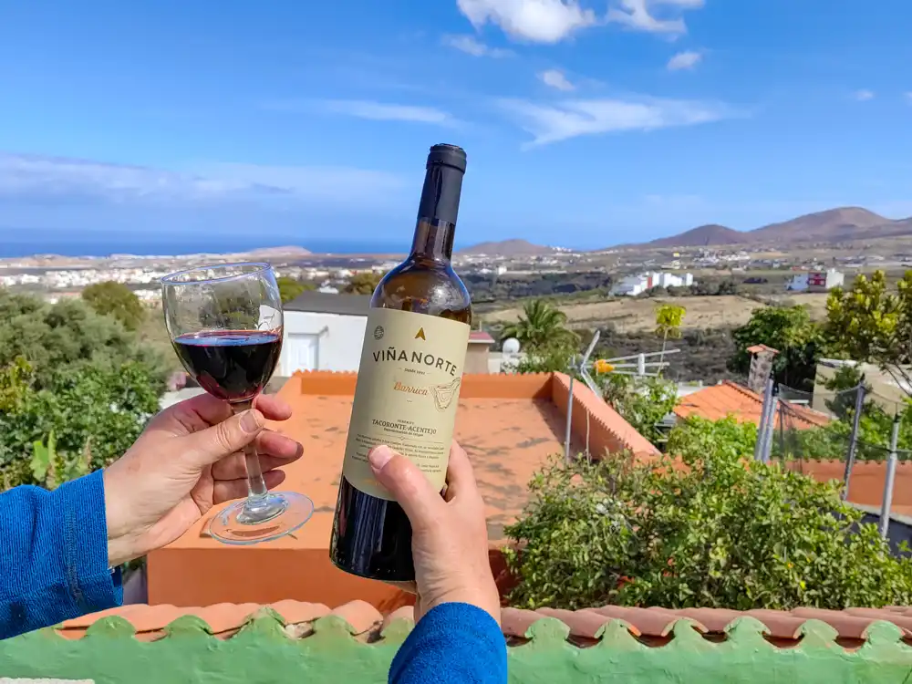
We preferred other local products instead. 🙂
